Grace Amondi
GIS for
ABOUT ME
My Interests

Preparedness . Sustainability . Resilience . Response . Adaptation
A GIS developer based in Nairobi, Kenya
Grace Amondi is a well experienced GIS specialist with proven record in Web & GIS Application development, database management, data visualization and analysis, API Design and system deployment, scripting , automation, familiarity with impact assessment and analysis.
She has strong technical skills and great interpersonal skills, allowing interaction with a wide variety of clients. She strives for improved human welfare by leveraging her GIS and remote-sensing programming skills to developing interactive, user-friendly, state of the art GIS tools, web apps and systems that are able to assess impact for decision making, analyse risk, support the mitigation of crises and threats and foster preparedness, resilience and response.
miswa.grace@gmail.com
My Skills
What I am well conversant with
HTML5
CSS
Javascript
Python
Mapbox GL
Open Layers
Leaflet JS
Google Maps
QGIS
ArcGIS
PostgreSQL / PostGIS
Mapserver
Geoserver
MongoDB
Erdas Imagine
Autocad
ESA SNAP
DHIS2
Open Data Kit
Survey123
LATEST WORKS
What I am up to.
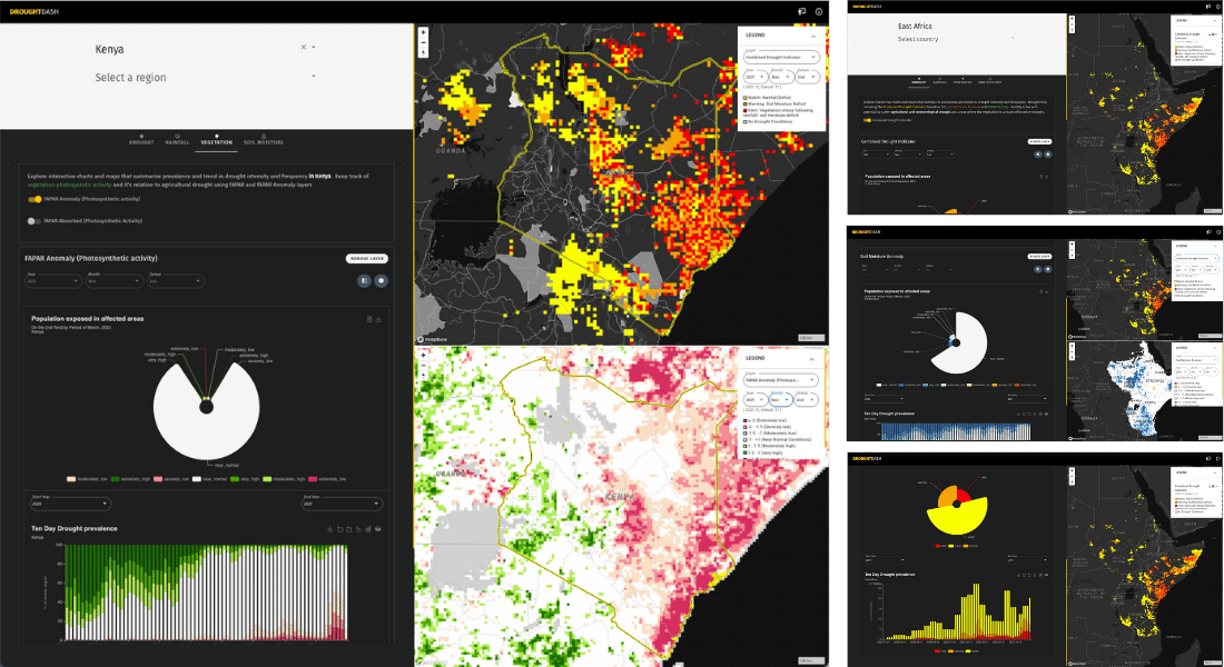
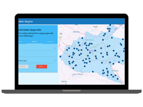
Drought Dash (Under Testing)
Dashboard that summarizes the situation of drought in East Africa. Provides interactive user interface to generate analysis of various drought related information for desire area of interest and time period. Includes maps, downloadable graphs/charts and reports.
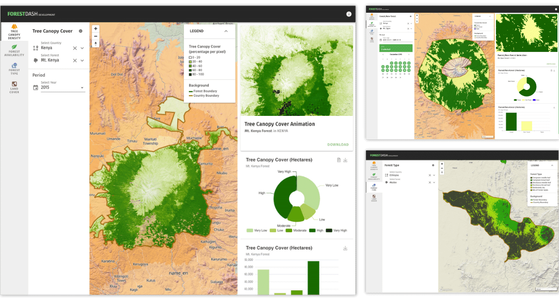
Forest Dash (Under Testing)
Summary dashboard displaying forests canopy density, forest type, land cover and forest availability for listed forests in East Africa. Interact with map and analytical elements of the dashboard to generate inferences.
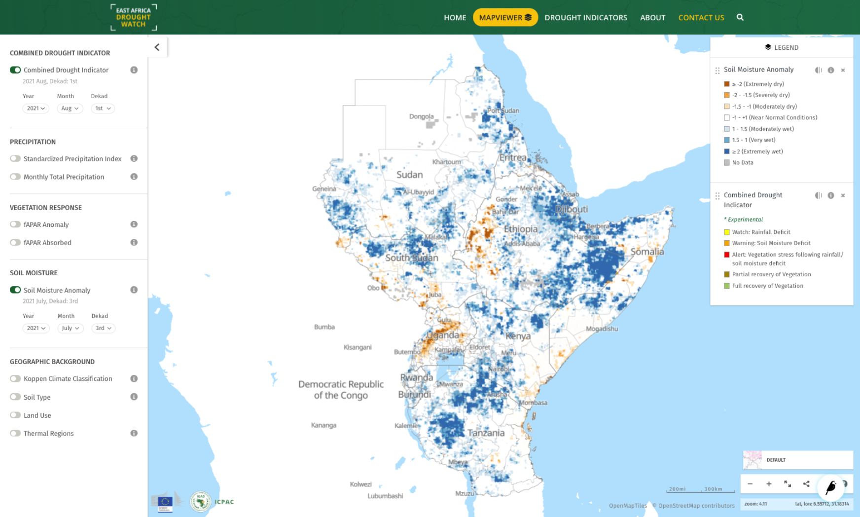
East Africa Drought Watch
Near-real time system that uses Earth Observation and Weather information to monitor drought conditions in the East Africa region. It contain drought-relevant information such as maps of indicators derived from different data sources (e.g., precipitation measurements, satellite measurements, modelled soil moisture content).
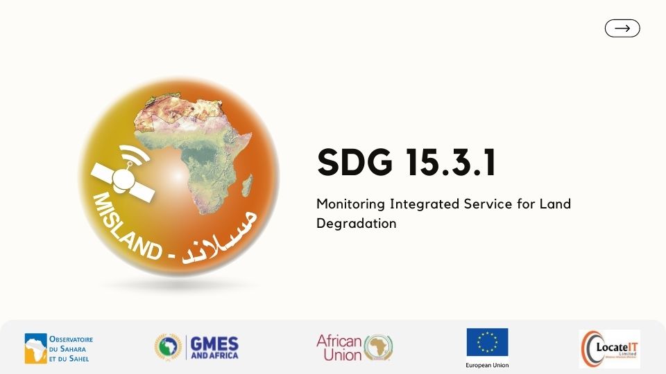
Monitoring Integrated Service for Land Degradation - MISLAND (QGIS Plugin)
Decision Support System(DSS) utilizing earth observation data to deliver information, promote awareness and, aid in decision making toward realizing Land Degradation Neutrality (LDN) in six OSS North Africa action zone countries: Algeria, Egypt, Libya, Tunisia, Morocco, and Mauritania.
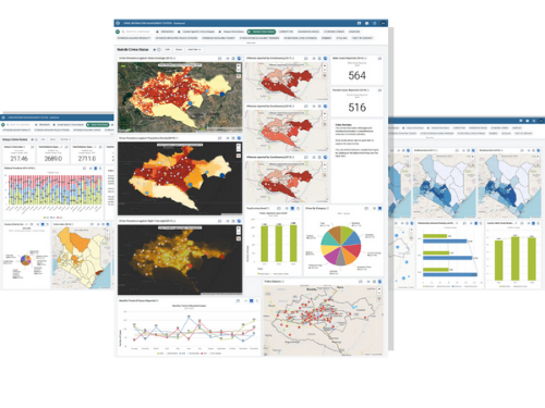
Crime Information Management System
Seamlessly enable crime reporting, analysis, visualization and presentation
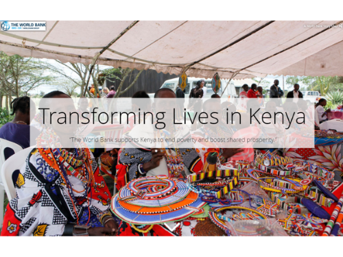
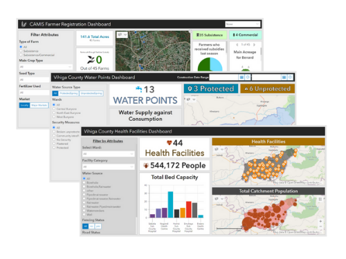
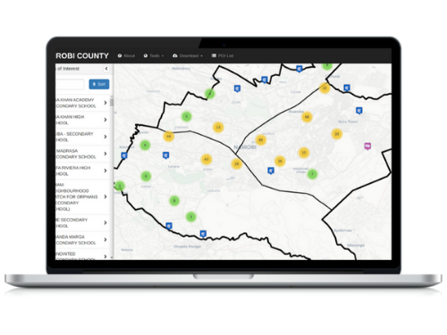
The North and North Eastern Development Initiative
The World Bank launched the NEDI to improve equity and reduce extreme poverty ...
Latest Blogs
What GIS tech articles I write.

Geographic Information Systems as a Public Health Tool
Picquet did not fail to inspire a few such as John Snow who adopted the same principle to depict cholera deaths in London in 1854.

Sequelize Your Way To Heroku with Express
We will cover how to create a minimal node application that uses sequelize. The database we are going to use is PostgresQl.
Cartographic Map Design and Layout
After all that hard work making your map why would you want to risk printing it without, say, a title or legend? And what ...
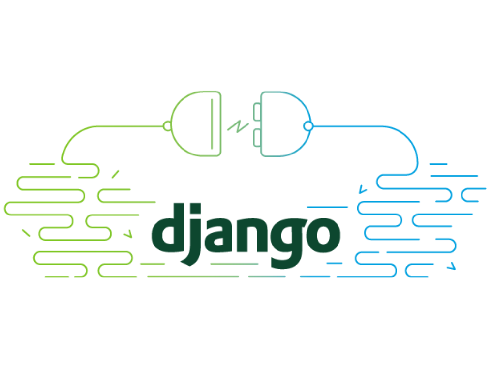
Deploy Geodjango Application to Heroku
A comprehensive guide on the exact steps you need to follow in order to successfully deploy your django application
Set Up ArcGIS with Anaconda
This article will explain how to quickly configure ArcGIS desktop with anaconda. Come along!

Create a Django Rest Framework-GIS on Ubuntu 16.04 Server|Alibaba Cloud
In this tutorial, we will create a GIS Django REST framework on an Alibaba Cloud Elastic Compute Service (ECS) instance with Ubuntu 16.04.
Recent Videos
What you can learn from me.
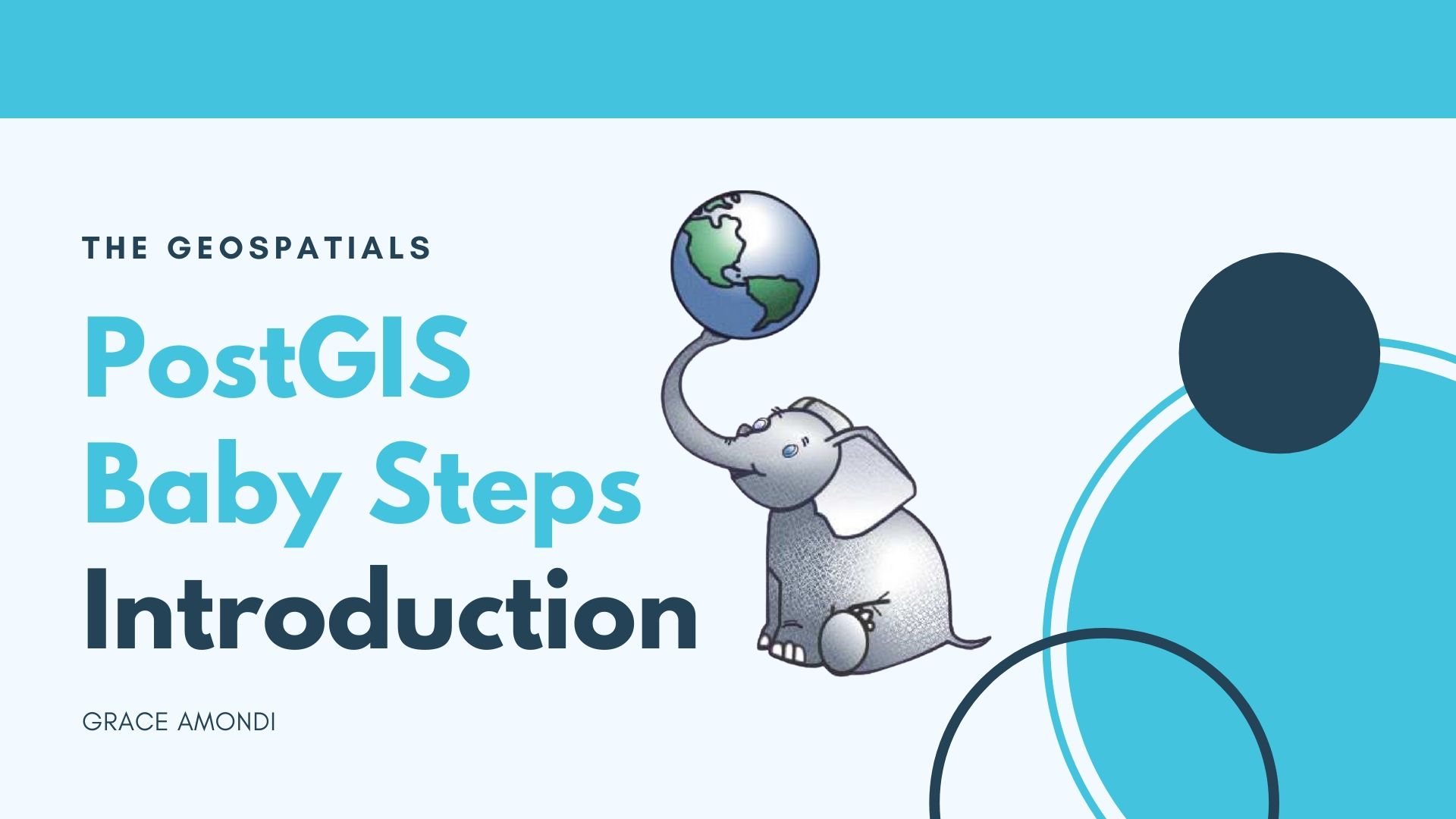
PostGIS Baby Steps
In this video we will do a detailed introduction on PostGIS and it's features.

Geonode Installtion on Windows | How to Debug Geonode Errors
In this video you get to know how to install Geonode on Windows and debug Geonode Installation Errors
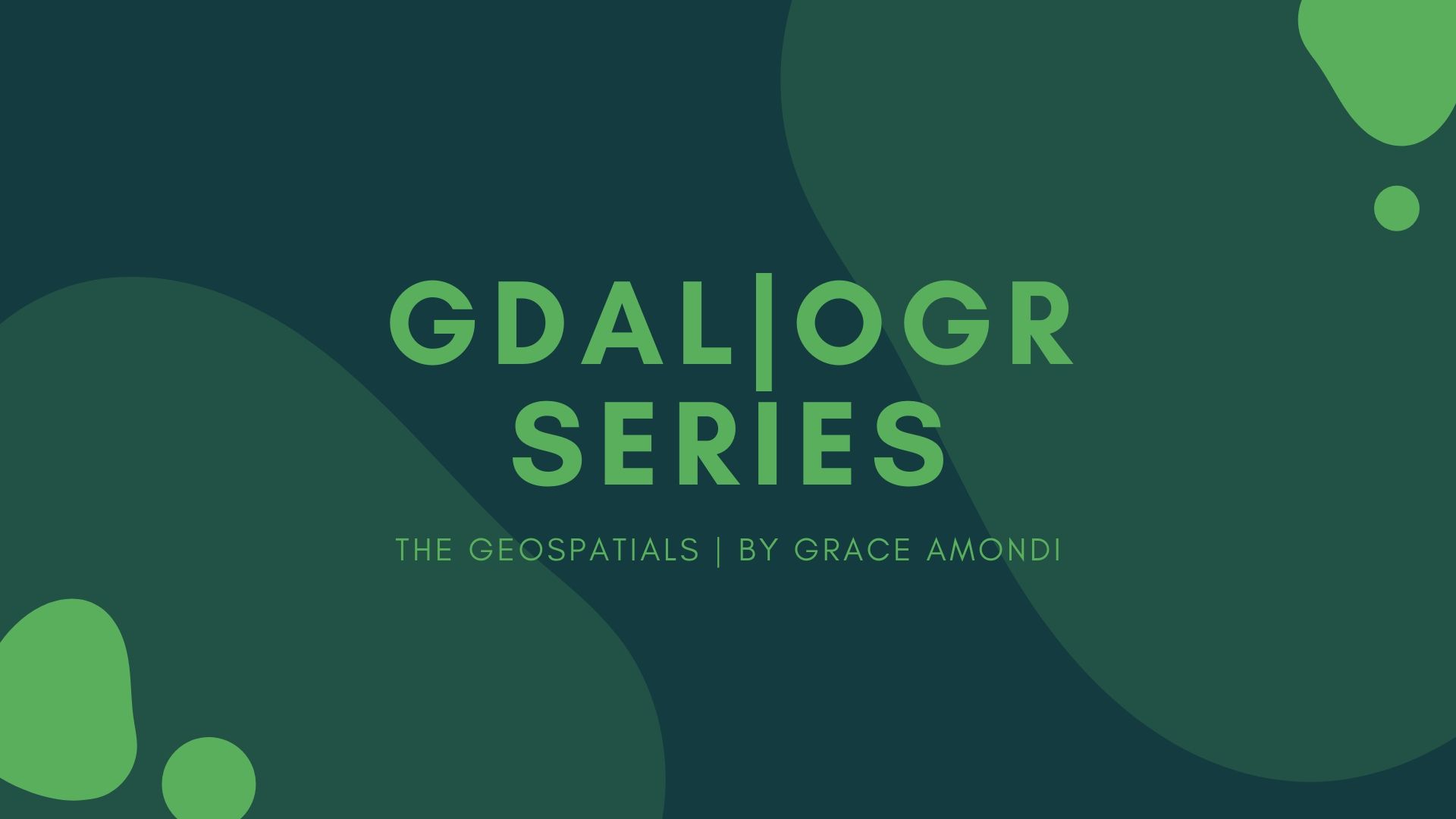
GDAL/OGR Beginner Guide
This is a series that takes you through the fundamentals of GDAL/OGR Beginner
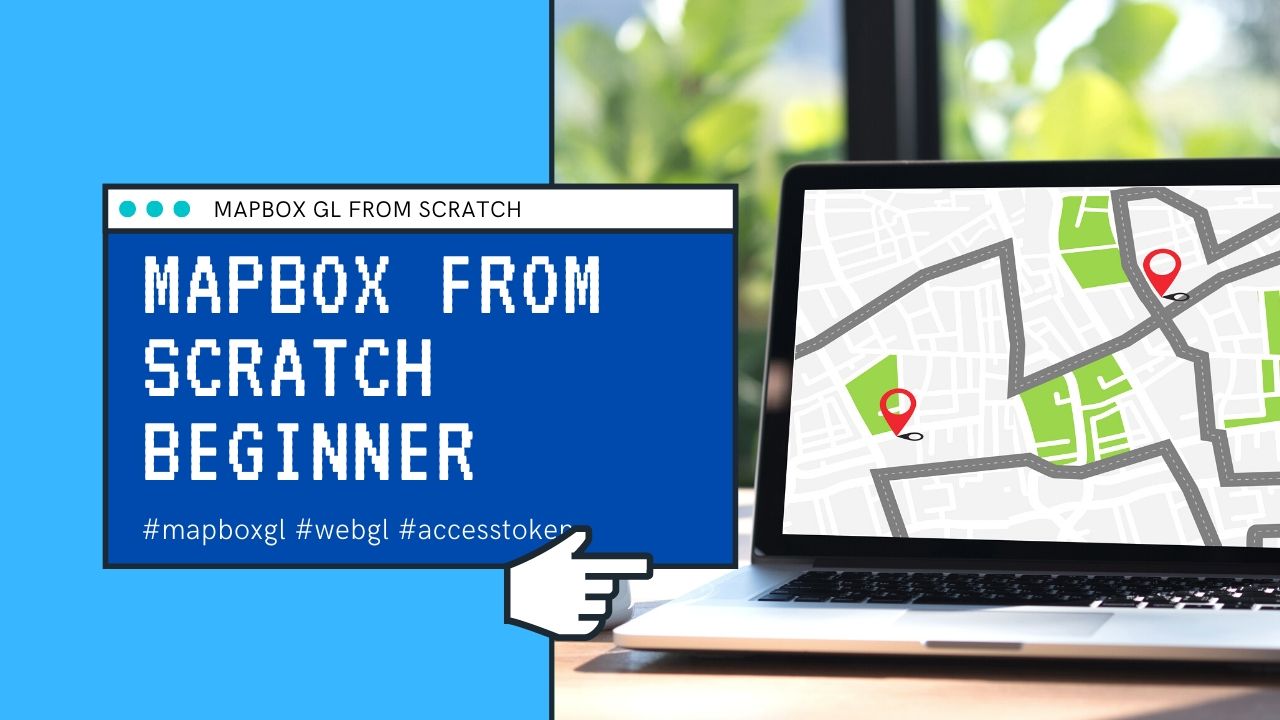
MapboxGL from Scratch
This is a mapboxgl webmapping beginner guide. Learn the basic components of mabpoxgl and prepare a webmap of your own.